The earliest known inhabitants of the area where Lagos emerged in southwest Nigeria were the Awori clan of the Yoruba ethnic group. They had migrated southward and lived on the edges of the lagoon that drained into the Atlantic by the 15th century. Lagos was annexed by the Benin Kingdom for use as a war camp later in the 15th century and named as such: Eko.
It’s a name the city bears till today, especially the area known as Lagos Island, where the Benin established their rule and where traditional institutions still combine a mix of Benin and Yoruba rites. An Oba reigns (Oba is the title by which Benin kings are known, adopted among many Yoruba communities for the local paramount) on the island. And the argument has subsisted ever since as to which of those influences was more foundational to Lagos.
However, it would seem that not long after Eko came into being, Portuguese sailors who had been roaming up and down the west African seaboard in search of the route to India, and who had started a lucrative trade in Africans shipped to the Americas, came upon Eko. Rui de Sequeira, a Portuguese pirate, was the first to set up there in 1472, and named it after a similar maritime centre back home.
So for the next 300 years Lagos became part of the coastal network for the transportation of slaves that reached all the way to Badagry to the west and down the Gulf of Guinea to the east. The Portuguese raiders used Lagos as a base for operations along the entire guinea coast of Africa, and stretching to Angola. The graves of some these sailors are located in parts of Lagos.
By the 19th century, when the British had had their fill of the Trans-Atlantic Slave Trade, they targeted Lagos and took it over as a base of their anti-slavery effort that was to pave the way for colonial domination. John Beecroft was appointed by Britain in 1849 as the Consul of the Bights of Benin and Biafra (which covered the entire Gulf of Guinea up to present-day Benin Republic). He helped engineer the ouster of Oba Kosoko, who was opposed to ending the slave trade, and replaced him with Oba Akitoye, who signed the treaty with Britain to end slavery in 1852, enabling it to set up a military base in Lagos, ostensibly, to protect him.
Lord Palmerston, the British prime minister at the time, stressed in 1861 the importance of “losing no time in assuming the formal Protectorate of Lagos,” fearing that the French were poised to move into the area as European powers scrambled to seize pieces of Africa. On August 6 that year, Oba Dosunmu, who had succeeded Akitoye, was made by the acting Consul William McCoskry and the military commander Bedingfield to accept and sign a treaty ceding powers to Britain, with the threat to bombard Lagos if he didn’t.
By 1887, the British had completed the grabbing of the northern and southern protectorates of Nigeria, ruled independently of each other and Lagos. When all were brought together in the 1914 amalgamation to create Nigeria, Lagos was subsequently declared the capital.
The Making of Modern Lagos
A modern Lagos was already in the making by the middle of the 19th century. By then the city was already attracting freed slaves, including Creoles from Freetown, Sierra Leone, and returned former slaves from Brazil and other parts of the West Indies.
Many were highly skilled professionals such as lawyers, teachers, clergymen and builders, and they left their imprint in the careers, schools, churches they built and the architectural style they bequeathed to early Lagos that featured ornamental masonry. Joined by the local people who migrated to the city, this community was later in the vanguard of the nationalist movement to end colonial rule.
It was from this mix that the basics of what came to be known as the ‘Lagos Culture’ emerged. It was a bold self-awareness that found expression in the politics of Herbert Macaulay and Nnamdi Azikiwe; in the music of Bobby Benson (who trained many Nigerian greats) and Fela Anikulapo-Kuti; in the art of Ben Enweonwu; and in some of the writings of Wole Soyinka, Chinua Achebe and Cyprian Ekwensi.
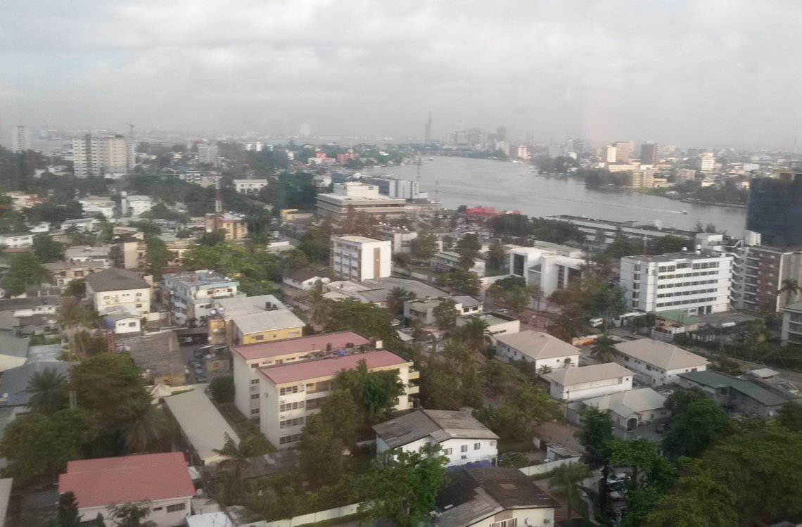
The railway was built in Lagos in 1886 as the British linked up identified productive zones of the country to the ports, other amenities, such as telephone services and electricity, followed apace. A period of rapid growth ensued, as people moved into Lagos from other parts of the country, that went on until independence 1960 and continued afterwards. Colonial Lagos was primarily Lagos Island and nearby Ikoyi, separated by the lagoon from the mainland that was then just Iddo, Ebute Metta, Yaba and Apapa. Carter Bridge was built in 1901 to link the islands to the mainland across the lagoon. For decades to come it was the only link between the two sections.
The immediate post-independence years saw another major burst of urban growth, with the addition of new areas, such as Ikeja, to the north (which also had the city’s airport), Mushin, Agege, Bariga and Surulere. A second bridge, the Eko Bridge, was built to link the islands to the mainland and ease the pressure on the Carter Bridge. The 1960s were probably part of the golden age of Lagos, when the culture, the music, the social activities and the lifestyle for which Lagos became known for, took shape.
Civil War and the Oil Boom Years
Lagos was jolted when civil war broke out in 1967 and new states were created, giving the national capital the added role of being a state administrative centre. Civil war ended in 1970 and within a couple of years Nigeria encountered an oil boom. As the money trickled down and the middle class burgeoned, cars filled up the roads and Lagos developed one of the most legendary traffic jams ever as the roads proved grossly inadequate.
In the spirit of the times, the then military government of Gen. Yakubu Gowon, who in one heady moment as the country was awash with petrodollars, declared that money was no object, threw a lot of funds at the problem. Thus were the city’s network of roads and overhead bridges built in a burst of construction that transformed the city. Yet it failed to resolve the city’s choking traffic problem.
The Capital Moves to Abuja
In 1976, a decision was made under then military ruler Murtala Muhammed, to move that capital from Lagos, as a necessary step to decongest the city. So Abuja was founded in what was considered the geographical centre of Nigeria and designated the new capital. It was to be another 15 years before the capital officially moved from Lagos to Abuja.
Within that intervening period, a megacity was made of Lagos. For years a net receiver of rural-urban migrants and settlers from other parts of Nigeria, the city grew in all directions, trampling all before it as it encroached into neighboring Ogun State. By the end of the 1990s, the population of Lagos was estimated to be between 12 and 16 million. And it was mostly a decaying city.
Decades of military rule characterised by plunder of national resources had left Lagos, like the country, unplanned for, uncatered for and in decline. Slums proliferated, social services broke down, sewers burst open and flowed in the streets, and humanity hustled and bustled through it all, suffering and smiling, as Fela would say.
A Revival
The decline of Lagos that was synonymous with the decades of military rule seemed to come to a halt with the return of civilian rule in 1999. Under Bola Tinubu, some efforts began to reverse the deterioration through improved tax collection and the investment of the revenue on infrastructure and social services.
However, it was under Babatunde Fashola, who succeeded Tinubu in 2007 that dramatic improvements were recorded in all spheres. Dilapidated schools, hospitals and roads were rebuilt, the city’s dark streets were lit up and it’s ugly facade got a beautiful face lift. Under Fashola, one of the ugly symbols of the city, the yellow buses known as molue, were phased out and replaced with air-conditioned buses under the Bus Rapid Transport (BRT) project, plying on dedicated lanes for fast movement of people through the city.
In 1984, the military under Buhari had stopped a city rail metro transport contract that was about to take off, setting Lagos back by many decades as it became one of the few cities in the world with tens of millions of inhabitants that didn’t have an intracity rail transit. Two new lines linking the northern and southern corridors of the city are currently under construction.
The surge of the Atlantic Ocean at Bar Beach, in Victoria Island, which had become a major problem threatening property values in the upscale area, was taken care of under Fashola with the building of the Eko Atlantic City on the water’s edge, employing advanced hydrology techniques to contain the surge of the ocean, while beautifying and maximising the utility of the area.
New Areas
If the 19th and early 20th century Lagos belonged to Lagos Island, the 1950s and 1960s belonged to Ikoyi, with Victoria Island leading in the 1980s and 1990s. The new millennium has been one dominated by the ascendancy of Lekki Peninsula as the prime property and residential area, dotted by many beachside gated states.
To the north of the city, the expansion of the greater Lagos area has fused it with nearby Ogun state, as estates and conurbations extend as as far as Otta and Agbara. On the Shagamu axis new residential clusters have emerged around the Redemption Camp area, also extending into Ogun State on the east.
Under Fashola’s administration, a fancy hanging bridge was built to link up Ikoyi with the Lekki Peninsula. Fashola also set up the Lekki Free Trade Zone, where among others things springing up is what will be Africa’s biggest refinery being built by billionaire Aliko Dangote.
Under Governor Akinwumi Ambode, who succeeded Fashola, new roads are being built and the rail project has been given a new urgency.
Weather and Topography
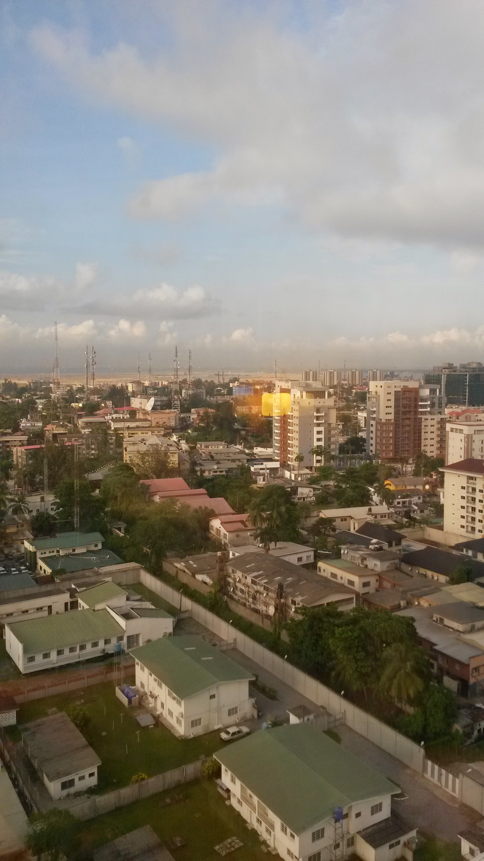
Like most of coastal Nigeria, Lagos experiences a tropical, equatorial climate that is humid almost all-year-round and a temperature range of between 24 degrees and 34 degrees celsius. Its rainy season starts fully in April and ends in November, when a shorter dry season starts and ends in March, with intermittent rains in between. While the lagoon is the biggest body of water, it’s interlinked with smaller rivers and creeks, with much of its land area swampy and covered by mangrove forests.
